Sunday, May 28, 2017

North Phoenix News/Cave Creek Regional Park


     We recently wrote the following five stories for a new web site specifically designed for the far north Valley.  The stories highlight five great outdoor recreational sites found nearby the I-17 corridor.  Summer may not be the best time to experience the hiking opportunities found at these sites but being aware of these recreational areas can help you plan an outing when the cool days of fall and winter return.  
    The site is called North Phoenix News, http://nophonews.com/ , and is a great site for local news in that part of the Valley of the Sun.  We hope you check it out!  We hope too that you enjoy our stories and our small contribution to this great new site. 


#1 Cave Creek Regional Park...

Summary:  The 2,922-acre park offers over 11-miles of joint use trails for hikers, mountain bikers and horseback riders to enjoy the refreshing solitude of the desert.  An additional 44 campsites with excellent facilities along with 51 individual picnic sites allow this Sonoran Desert park to become an outdoor discovery adventure for the whole family.    


Why You Should Go:  The lush, unspoiled Sonoran Desert vegetation of the park and the many well maintained park facilities allows all park visitors to quickly escape the local urban environment and become submerged in this tranquil, undisturbed natural terrain.
    Four-legged family members are also allowed but must remain on a leash at all times.  Any doggie waste must be immediately cleaned up and properly disposed.

When To Go:  The cooler months of October - May are the best months to enjoy the seven hiking trails, picnicking and camping facilities of the park. The visitor-friendly Nature Center allows park guests to enjoy the many ranger led hikes and environmentally oriented programs even during the hottest of summer months.

Be Safe:  The joy of experiencing the beauty of the Sonoran Desert must be tempered with the knowledge that visiting the desert can also be dangerous.  Heavy sole shoes are a must as well as sunscreen, and a large-brimmed hat.  Sufficient water must be carried along while on the trail for any hike or ride.  Always let someone know where you have gone in case of an emergency.  Carry a mirror or whistle in case you need to signal for help.
   

History:  The name Cave Creek comes from a high, overhanging bluff along the western bank of the local stream that forms a large, open cavern some five miles northeast of the park.  Native people often used the large cave for shelter.
    During a time in Arizona history known as the Apache Wars (1865 - 1885), the land in and around the park was the scene of many skirmishes and deadly confrontations between the US Cavalry and the local Yavapai Apache and Tonto Apache people. 
    Just north of the park in an area known as Bloody Basin, a March 1873 early morning battle atop Turret Peak resulted in the death of 26 Yavapai warriors and is considered the turning point in the conflict in central Arizona between settlers and the local, Apache people.
    Another skirmish occurred along the west bank of Cave Creek just east of the park on Christmas morning of 1873 resulting in the death of Apache leader Nanotz and eight of his Tonto Apache warriors.  By 1877 the remaining Apache people of this area of Arizona had been moved to the San Carlos Reservation.  The land was now free of the Apache people and open to miners, ranchers and settlers to occupy. 

Cost:  $6.00/vehicle

Hours:

Tuesday         6AM–8PM
Wednesday  6AM–8PM
Thursday     6AM–8PM
Friday          6AM–10PM
Saturday      6AM–10PM
Sunday        6AM–8PM
Monday       6AM–8PM

Trail Map:  http://www.maricopacountyparks.net/assets/1/6/cave-creek-8x112.pdf

Website:  http://www.maricopacountyparks.net/park-locator/cave-creek-regional-park/

Phone:  (623) 465-0431

Location:  37019 N Lava Ln, Cave Creek, AZ


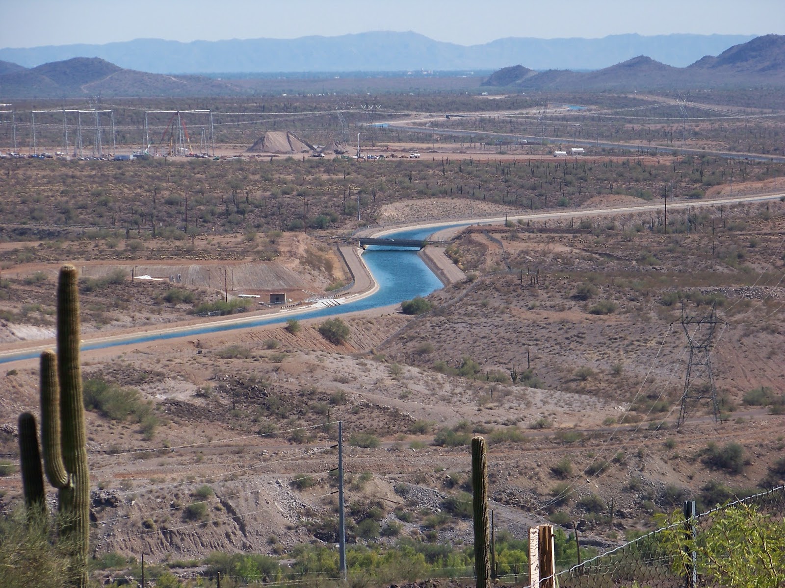
Pictures 3, 7 & 8 belong to Cave Creek Regional Park...


#2 Deem Hills Recreational Area


Summary:   Deem Hills Recreational Area is one of the newer parks in the City of Phoenix (2010) that offers a variety of recreational activities in the Northwest Phoenix area.  The two hills that actually make up a recreational area of nearly 1000 acres are crisscrossed by five well maintained trails totaling some 14.5 miles in length.  An east and west trailhead allow access this recreational area. A large community park, open 5:30 am - 11:00 pm, is located at the West Trailhead and offers a children’s playground, a soccer field and a dog park.

Trail Map:  https://www.phoenix.gov/parkssite/Documents/056885.pdf

Why You Should Go:  Deem Hills Recreational Area is a close-by recreational site suitable for the entire family.  The mountain hillsides are covered with a large stand of saguaro cacti and typical Sonoran Desert vegetation with an extensive trail system that is ideal for hikers, mountain bikers, birders and photographers. The large, two section dog park will surely put a smile of the face of your favorite four-legged friend.


When: October - late May are the best months to visit.  Extreme heat of the summer months can make anytime but early morning hiking/biking outings potentially dangerous.

Insights:  Good shoes, sun screen, a wide-brimmed hat and a signaling device are always always recommended when visiting any desert area.  Be sure to take an adequate supply of water and tell someone where you are going before beginning any outing into the Sonoran Desert.

History: The mountains that make up the Deem Hills Recreational Area are composed of Precambrian Era granite and Tertiary Period basalt.  The black boulders of basalt are actually the remains of 1.6 million year old lava flows from volcanos in the Flagstaff area that broke through the earth’s surface here.  Many other mountains of black basalt are found along the I-17 corridor today, all created by the many ancient volcanos of northern Arizona.
    The name for the recreational area comes from Dennis and Carl Deem who in 1922 began homesteading 160 acres of desert land just to the southwest of the hills that now carry their family name.    

Web:  https://www.phoenix.gov/parks/trails/locations/deem-hills

Phone: 602-495-6939

Address: West Trailhead - 5050 W. Andrea Lane near 51st Avenue and Deem Hills Parkway;  East Trailhead - 27500 N. 39th Ave.

Cost:  free


#3 Lake Pleasant Regional Park


Summary:  The park is one of eleven regional parks in the Maricopa County Park system.  But unlike the other ten desert parks, this park is unique because it has within its 23,662-acre boundary the second largest lake found Arizona – Lake Pleasant.  For resident in the North Phoenix area this nearby regional park has become a Sonoran Desert water recreational paradise.

Why You Should Go:  Thousands of Phoenix residents flock to the lake to enjoy the many water sporting adventures that a large body of water provides.  It has long been a fisherman’s paradise and now boaters, kayakers, water-boarders, jet-skiers and swimmers relish in the clear water and many secluded coves.  For those who just like being near the water, the many picnic table, camping sites and restaurants offer a relaxing day near the water while enjoying Arizona’s sunshine and spectacular, star filled nighttime sky.

When To Go:  Because of the cooling waters of the lake, this desert regional park is a great destination any month of the year.  The surrounding desert areas away from the lake must be respected for their potential of danger from critters and summer heat typical of any Sonoran Desert region.  Dogs are welcomed in the park but must always remain on a leash and all waste must be cleaned up and properly disposed.  

Be Safe: Arizona boating laws and regulations apply to the waters of Lake Pleasant -  http://www.azgfd.gov/pdfs/outdoor_recreation/boating_laws.pdf .  


 The lake is surround by the Sonoran Desert so all desert safety precautions are recommended and stressed, i.e., good shoes, wide-brimmed hat, sun-screen and adequate water.  Think safety - stay alive! 

History: The vision to build a lake in the mid-1920s in the middle of the Sonoran Desert goes to three men with familiar names – William H. Beardsley, Carl Pleasant and Donald Waddell.  They dreamed of and then watched the construction as the largest, multiple arched concrete dam in the world was built across the Agua Fria River and became a part of their own, private irrigation project.
When completed in 1927 the 76 feet high, 2,160 feet long Waddell Dam backed up water to create a new 3,000 acre Lake Pleasant.  This 1920’s lake provided a constant supply of water for irrigation and soon became a fisherman’s paradise.
In 1992 a new Waddell Dam was completed allowing Lake Pleasant to more than triple in size.  Only Roosevelt Lake located on the Salt River remains larger in size then Lake Pleasant.
Water from both the Agua Fria and the Colorado Rivers is now collected behind the new Waddell Dam and stored as a key part of the Central Arizona Project.  Over 50 miles of shoreline have been created with 10,000 acres of clear water.  The old, 1927 Waddell Dam was breached and remains today north of the new dam and beneath 100 feet of water. 


Cost: $6.00/vehicle; $400/motorized water craft

Hours:
Day-Use Entry (non-camping): 6 a.m. to 10 p.m. daily / Camping: available 24 hours, 365 days a year (camping pass and/or reservation required)

Trail Map:
http://www.maricopacountyparks.net/assets/1/6/trails-map-north-south1.pdf

Website: http://www.maricopacountyparks.net/park-locator/lake-pleasant-regional-park/

Phone:  (928) 501-1710

Location: 41835 N. Castle Hot Springs Rd.
Morristown, AZ

Lake Pleasant Trails…
    1.     Wild Burro Trail - 2 miles
    2.    Frog Tank - 0.3 miles
    3.    Cottonwood Trail - 1.2 miles
    4.    Pipeline Canyon Trail - 2 miles
    5.    Roadrunner Trail - 0.8 miles
    6.    Yavapai Point Trail - 1.5 miles
    7.    Beardsley Trail - 4.4 miles


#4 Phoenix Sonoran Preserve


Summary:  This is the City of Phoenix’s newest preservation effort to protect the pristine Sonoran Desert wilderness within the City’s boundary.  The 21,500 acres of undisturbed desert mountains, washes and plains can be easily accessed over 34 miles of well maintained trails by hikers, mountain bikes, horseback riders and nature lovers from three trailheads.

Why You Should Go:  If you love the Sonoran Desert this preserve can become your favorite outdoor playground.  The natural setting is ideal for those who wish to exercise in the outdoors and also offers limitless opportunities for photographers and birders.  The preserve has been described by one hiker as the “Sonoran Desert Heaven!”   

When To Go:  Late October - late May are the best months to visit.  Extreme heat of the summer months can make anytime but an early morning outing potentially dangerous.

Be Safe:  Good shoes, sun screen, a wide-brimmed hat and a signaling device are always a must when visiting any desert area all months of the year.  Be sure to take an adequate supply of water and tell someone where you are going before beginning your outing into the preserve or any desert area. 
    Dogs are welcome in the preserve but must always remain on a leash.  Be sure to clean up and carry out any waste from your four-footed friend. 


History:  The citizens of Phoenix have had a long history of preserving their urban mountains for the enjoyment and recreational by all citizens.  As early as 1920 when the City covered only 5.1 square miles City leaders saw the benefit of acquiring mountain lands for picnicking, horseback riding and hiking.
    By 1925 City efforts resulted in the acquisition by Presidential decree of 13,000 acres of mountain land south of the downtown area.  The City paid $17,000 for the land that is known today as South Mountain Park.  Today South Mountain Park encompasses some 16,500 acres and is the largest municipal park in the United States.
     By 1959 the City had grown to 187 square miles and civic leaders once again began acquiring mountain lands for preservation.  In 1964 the land known as Papago Park was purchased for $3,529 and became home to both the Phoenix Zoo and Desert Botanical Gardens.
    In the late 1960s Senator Barry Goldwater led the fight to purchase 350 acres of land to save the summit of Camelback Mountain.  Over 350,000 hikers each year now follow the Camelback Summit Trail to the mountain’s summit to enjoy the view.
    In January 1972 the City had grown to 248 square miles and the City Phoenix Council established the Phoenix Mountain Preserve to protect more of the natural mountain environments and landscapes from further development.  Today the 7,500 acre Phoenix Mountain Preserve protects such mountains as Piestewa Peak, Shaw Butte, North Mountain and the Dreamy Draw Recreational Area.
    For almost 100 years the citizens and elected officials of Phoenix have had the foresight of preserving the urban mountain areas of this region of the Sonoran Desert.  The Phoenix Sonoran Preserve is a continuation of that long, held vision.
 
Cost: free

Hours:  Check website for trailhead hours 

Trail Map:  https://www.phoenix.gov/parkssite/Documents/Map%20-%20Sonoran%20Preserve.pdf

Website:  https://www.phoenix.gov/parks/trails/locations/sonoran-preserve

Phone:  602-262-6011

Location: Desert Hills Trailhead - 705 W. Carefree Hwy; Apache Wash Trailhead - 1600 E. Sonoran Desert Drive;  Desert Vista Trailhead - 1900 W. Desert Vista Trail 


#5 Thunderbird Conservation Park


Summary:  The 1,185-acre park with nearly 20 miles of trails in the Hedgpeth Hills is yet another of the desert recreational areas located in the north Valley.  Dedicated to the preservation of the desert environment, the park offers enjoyable outdoor opportunities for hikers, mountain bikers, trail riders, picnickers and bird watchers.


Why You Should Go: In addition to the normal outdoor activities commonly found in all of the local desert parks, this park offers four unique wildlife viewing blinds that overlook an adjoining  community lake.  This constant source of water within the desert attracts many species of wintering waterfowl as well as residential desert birds and animals like coyotes, javelina, quail and deer.

When To Go: Like all desert parks the best time to visit is during the cooler months between late October - May.  Hiking during the summer months is safest and best enjoyed early in the morning.

Be Safe/Insight:  All desert outing precautions should be taken when visiting the park.  Good shoes, a wide-brim hat, sun screen and plenty of drinking water are a must.  Trails are wide, well maintained but rocky.  This is a very popular hiking/mountain biking area so please use all trail courtesies.  Dogs on leashes are welcome; be sure to bring water for you dog and pick up and properly dispose of any dog waste.

History:  The name Thunderbird is a common name today across the north Valley.  The name first came into use in the area in 1939 when a group of Hollywood investors decided to create a commercial pilot training facility near near 59th Avenue & Greenway Road in Glendale, Az.  Such celebrities as Jimmy Stewart, Hoagy Carmichael, Henry Fonda, Cary Grant and Margaret Sullavan were all a part of the investment team.
    Hollywood’s creativity was immediately on display when artist Millard Streets designed the air field to look from the air as a representation of the mythical thunderbird of the Anasazi Indian culture.  This “super” bird was said to be the magnification of power and strength.  The control tower created the head of the bird, the flower gardens represented the bird’s colorful tail, the airplane hangers symbolized the wings and the airfield itself embodied the bird’s powerful body. Del Webb Construction was the building contractor.
    When World War II began the field was leased to the United States Army Air Force.  During the war over 10,000 fighter pilots from 30 nations were trained at Thunderbird Field.
    When the base closed in 1946 at the end of World War II,  Lt. General Barton Kyle Yount, commanding general of the US Army Air Training Command, acquired the old training field.  He began the American Institute for Foreign Trade school in the building of the old field.  Today this award winner school is known as the Thunderbird School of Global Management and still operates on the site of the historic Thunderbird Field.
    The name Thunderbird quickly became used for local roads, schools and even a desert park.  The City of Glendale acquired the park land in 1951 with a lease from the federal government.  City ownership occurred in 1956 with help from the Glendale Rotary Club and Glendale Women’s Club.    Maricopa County took over the operations of the park in 1963 and many of the trails and facilities were constructed at this time.  In 1984 the City of Glendale regained control of the park and continues today to oversee the park’s operation and management.
     
Cost: Free

Hours:  Sunrise - sunset - 24/7/365

Trail Map:  http://www.glendaleaz.com/ParksandRecreation/documents/T-birdParkMaprevised.pdf

Website:  http://www.glendaleaz.com/parksandrecreation/thunderbirdpark.cfm ; https://www.youtube.com/watch?v=jnh2KTWGmkg


Phone:  623-930-2820

Location: Main Entrance: 22800 N. 59th Ave, Glendale, AZ; East Trailhead is located at 55th Avenue & Pinnacle Peak Road; West Trailhead is located 67th Avenue & Patrick Lane

Zip Code:  85310