Walnuts are not a common topic when a discussion about Arizona arises. Yet just 8 miles east of Flagstaff is a canyon that was once lined with Arizona walnut trees flourishing along a meandering, high country stream. Here in this 400-foot deep, 20-mile long, ¼ mile wide canyon the prehistoric Sinagua People found shelter and built their homes. A part of this canyon today is located within the boundary of Walnut Canyon National Monument.
For centuries the waters of Walnut Creek have travel east on their journey to join the Little Colorado River. The eroding force of these waters has cut through the native limestone to form ledges high above the canyon floor and an unusual U-shaped island. During the 12th and 13th centuries, the Sinagua People mortared up the outer edge of these ledges and created over 300 cliff-dwelling within the 3600 acre park boundary. Twenty-five of these ancient dwellings are accessible to modern explorers when they come to this most unique national monument.
From the visitor center, a self-guided .9-mile loop trail composed of 240 steps quickly drops off the edge for some 185 feet. Visitors now come upon 800 year old ruins, many of which can be entered and explored. A good pair of binoculars becomes useful at this point to look across the canyon and view many other ruins tucked under the limestone overhang.
The 240 steps that lead down to the ancient ruins are the same 240 steps that must now be climbed to again arrive at the visitor center. At the 6690 feet elevation that Walnut Canyon National Monument is located, even seasoned hikers will pause to catch their breath.
A much easier .7-mile rim trail also leads from the visitor center following the canyon edge for those who wish to view the cliff dwellings without the steep descent into the canyon. Picnic facilities are available but there is no camping within the national monument.
With the arrival of the railroad in the 1880s, pothunters soon discovered the ruins of Walnut Canyon. Armed with shovels, picks and dynamite, they began the ravaging destruction of the historic treasures found here. Concerned local residents petitioned government officials and in 1915 President Woodrow Wilson established Walnut Canyon National Monument.
The Civilian Conservation Corp began working in the national monument in the late 1930s. The men of the corps are responsible for the blazing of trails, stabilizing of walls and construction of many buildings still in use at Walnut Canyon today.
Today over 100,000 people from all over the world come to this unique Arizona canyon to view and enjoy this ancient home site of the Sinagua People. So why not leave the heat of the Valley behind and travel to the cool weather of Flagstaff and visit Walnut Canyon National Monument. Link -
http://www.nps.gov/waca/index.htm
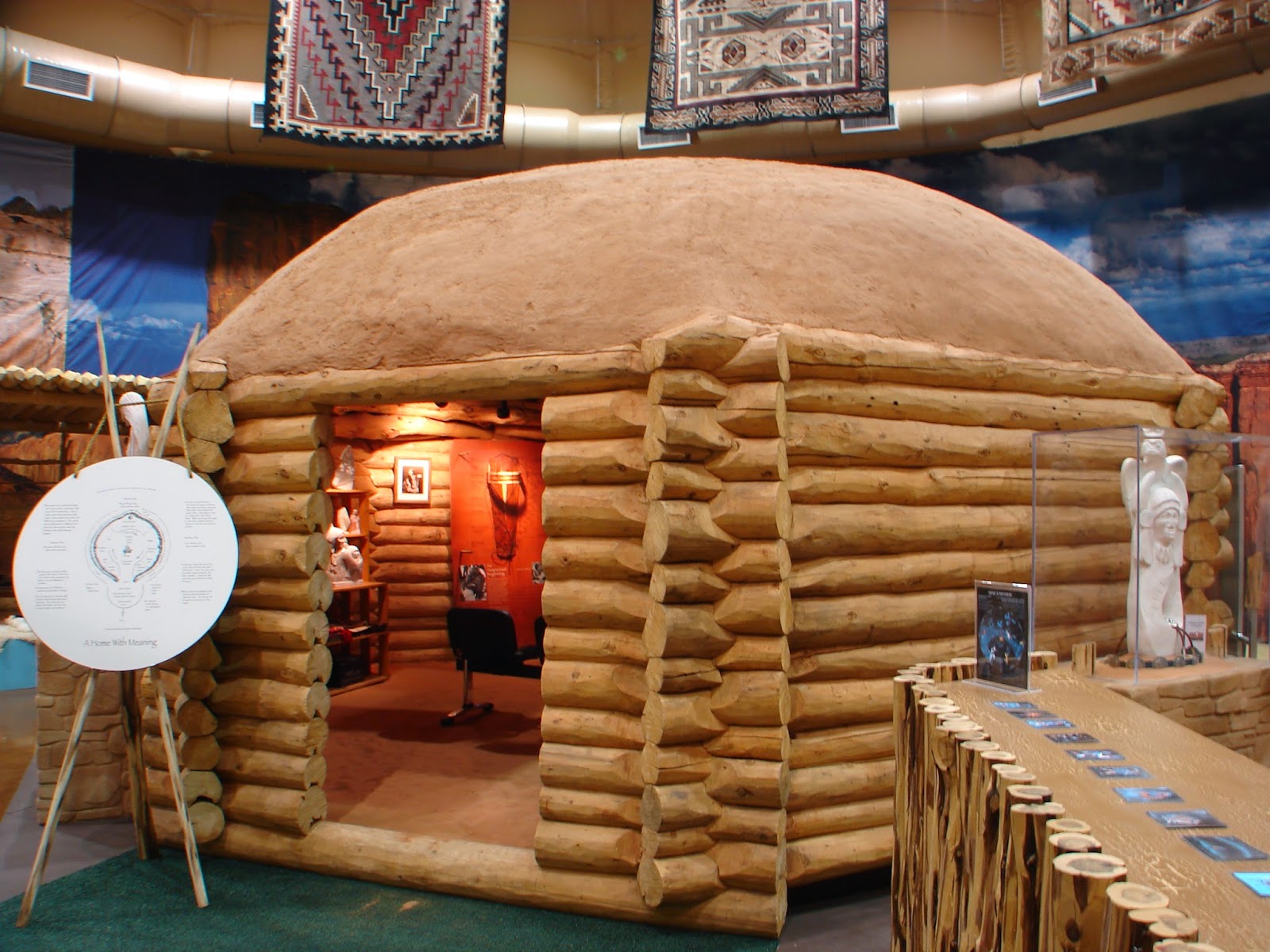
Arizona is full of sites and great memorials to honor those who have served America. In the northern Arizona town of Tuba City, some 196 miles from Anthem, the Navajo Interpretive Museum now shares with visitors the story of the Navajo people with a special tribute to the Navajo Code Talkers.
Once on the islands across the Pacific Ocean telephone and radio signals from United States Marines cracked with such words as “BEH-NA-ALI-TSOSIE LO-TSO”, BESH-LO AND “DA-HE-TIH-HI”. These were the communications of the Navajo Code Talkers and they told U.S. Marine officers about Japanese battleships, submarines and fighter planes.
The Navajo Code Talkers came from the villages of the Navajo Reservation of Arizona and New Mexico. They were a part of every Pacific battle the U.S. Marines fought from 1942 – 1945. Navajo Code Talkers were members of all six Marine divisions, Marine Raider battalions and Marine parachute units. From those battle-torn Pacific Islands they sent messages by telephone and radio in their Navajo language—a code that the Japanese army was never able to break.
The idea to use the Navajo language as a military code came from Philip Johnston. Philip, the son of a missionary, grew up on the Navajo Reservation and spoke the Navajo language fluently. He was a World War I veteran and knew the importance of secure, military communications.
Marine Major Howard Connor declared after the Battle of Iwo Jima, “Were it not for the Navajos, the Marines would never have taken Iwo Jima.” Major Connor used six Navajo Code Talkers to send over 800 messages, without error, in the first two days of the battle.
The 7000 square foot Navajo Interactive Museum is a tribute to the Navajo people including the Navajo Code Talkers. It shares with visitors the journey that the Navajo take through life. Four is a sacred number to the native people and this number reappears through the tour of this interesting and new museum.
And toward the end of the museum tour, when passing into the special building that honors those United States Marine Navajo Code Talkers, pause and say a little pray for all United States soldiers, past and present, who served and continue to serve so that We The People, might live free.
For more information, visit http://www.explorenavajo.com/go2/home_page.cfm
Even though Montezuma Castle might be the worst named historic site in Arizona, it certainly is one of the most amazing Indian ruins in the American Southwest. And, just what did King Montezuma have to do with this national monument bearing his name in Arizona’s Verde Valley? Absolutely nothing!
But the American settlers of the 1850s were sure that the Aztec People from Valley of Mexico and their great leader, King Montezuma II, had built this pueblo along Beaver Creek and so they named this multi-storied ruins in the king’s honor!
On December 8, 1906 President Theodore Roosevelt called the ruins of Montezuma Castle a pueblo “of the greatest ethnological value and scientific interest.” Such praise from the American President resulted in Montezuma Castle National Monument being the second national monument ever created in America.
It was the Sinagua People who in the early 1100s built this ancient, five story, 20 room “high rise apartment” under a large, natural limestone cliff some 100 feet above the flowing creek. Nearby the high rise castle is a much larger pueblo ruin, known as Castle A, which lies today as only a pile of rubble against the base of the castle’s limestone cliff.
From these ancient dwellings the Sinagua farmers used the water of Beaver Creek to irrigate their bean, squash and corn fields that grew along the banks of the ever flowing creek. When the day’s work was done, they would climb long ladders to again reach the safety of their home under the cliff.
By the mid-1400s the Sinagua People’s destiny had joined that of other early Arizona tribes and they disappeared from their northern Arizona homes. The Sinagua People had abandoned their high-cliff home along Beaver Creek some 100 years before King Montezuma’s birth in the Valley of Mexico.
Why they left their “5 story castle” remains a mystery to archeologist even today. Eight modern tribes claim to be the descendents of the Sinagua People.
Montezuma Castle National Monument is 841 acres in size. A 1/3 mile paved trail leaves from the visitor center and travels along the base of the cliff under the castle. Visitors can no longer enter the castle ruins as the castle was officially closed to guided tours on October 1, 1951.
A short 11 miles northwest of Montezuma Castle is another section of the national monument known as Montezuma Well. Montezuma Well is a sinkhole in the limestone formation filled with fresh water. Each day 1.5 million gallons of 76° water pass through the well, creating a lush oasis in the high desert landscape.
Montezuma Well is 368 feet across and 55 feet deep. The source of its tremendous, daily flow of water is not known. Rim ruins and ancient canals indicate that both Sinagua and Hohokam farmers once lived here and used the well’s water to irrigate their crops.
Montezuma Castle National Monument is located some 56 miles north of Anthem on I-17 at Exit 289 in Camp Verde, Arizona. The GPS coordinates of Montezuma Castle National Monument is N34°36.694΄ W111°50.365΄. To learn more about Montezuma Caste National Monument visit www.azpbs.org/monumental/montezuma.html and www.cr.nps.gov/archeology/sites/antiquities/ profileMontezuma.htm .


 |
| Montezuma Well |